Busan City produces English language edition of the Galmaetgil Trail map
- Attachments
-
- Galmaetgil_Trail2.jpg (File Size: 0 bytes, Downloads: 137) Preview
- Galmaetgil_Trail3.jpg (File Size: 0 bytes, Downloads: 108) Preview
- Contents
-
Busan City has produced English language editions of its Galmaetgil trail maps for foreign residents and tourists.
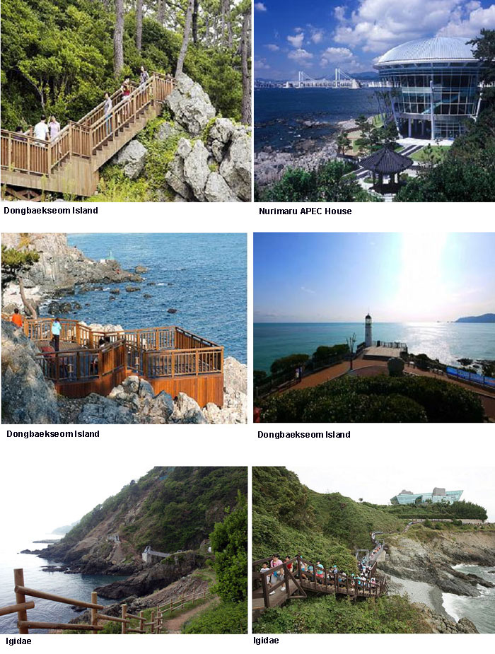
The English language edition of the Galmaetgil trail map includes Trail #2 and #3, the two most popular of the 9 Galmaetgil trails according to the results of a citizens survey. Galmaetgil Trail #2 was voted by Busan citizens as their favorite trail, and connects to Galmaetgil Trail #1 via the Moontan Road path, which was designated as one of Busan's 'slow city' attractions along with the Bosu-dong Bookstore Alley this April and which takes walkers along a beautiful clifftop coastal footpath.
Trail #2 finishes at the Oryukdo Islets Cruise Dock, passing via Dongbaekseom Island, Millak Bridge, Gwangalli Beach and Igidae Headland. Trail #3 starts at the Oryukdo Islets and passes by Sinseondae, the UN Memorial Cemetery, Busan University of Foreign Studies, Busanjin Market, Choryang Catholic Church, Gukje Market, Jagalchi Market, Namhang Bridge, the Jeolyeong Coastal Trail, Jungni Beach, and Gamri Coastal Trail until it ends at Taejongdae.
The maps include trail directions, convenience facilities, trail distances, estimated walking times, and recommended nearby places for foreign tourists to eat, see, stay and play.
The English language edition of the Galmaetgil Trail map will be distributed to major hotels, Gimhae Airport, the Busan Foundation for International Activities, the City Tour bus office, universities, and subscribers of Dynamic Busan (the city's fortnightly English newspaper). In addition, the City plans to produce Chinese and Japanese language editions of the maps in early June.