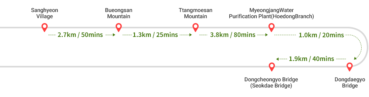
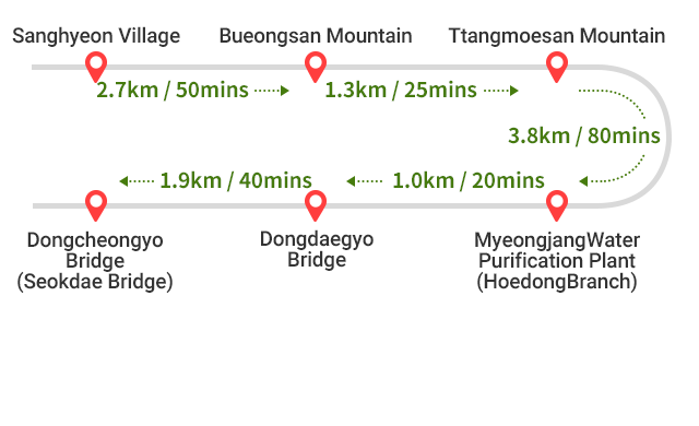
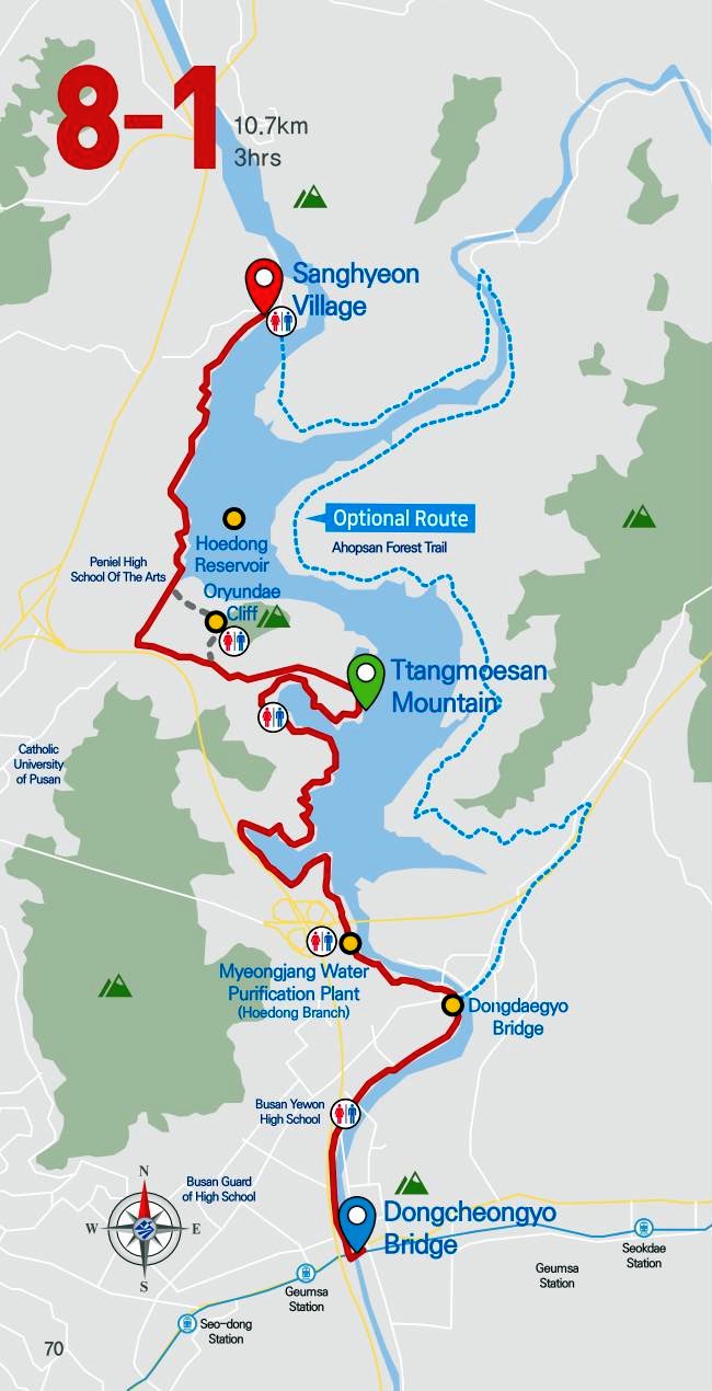
Route 8-1: Sanghyeon Village ~ Dongcheongyo Bridge (Seokdae Bridge)
 Starting
point
Starting
point Finishing point
Route 8-1
Total Distance: 10.7km, Total Time: 4hrs, Difficulty: Moderate
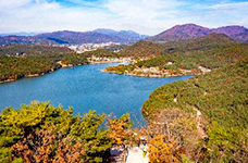
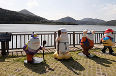
The route around Hoedong Reservoir was awarded the Grand Prize in the 2009 Busan Galmaetgil Contest. Known for its great scenery around Suyeonggang River and Hoedong Reservoir, it boasts its walkable course for everyone to enjoy their trekking. In particular, Oryundae Cliff and the peak of Bueongsan Mountain are considered the best spots to enjoy their beautiful scenery. Also, the winding riverside route from Ttangmoesan Mountain through Yunsan Mountain to Myeongjang Water Purification Plant is surrounded by a range of the Ahopsan Mountain Range. The leisurely scenery of water birds flying up is like a scene from Sosangpalkyong, a Chinese song about the beautiful scenery. Hoedong Reservoir is also a place of resentment and anger of people whose homes were submerged when it was established in 1942 during the Japanese colonial period.