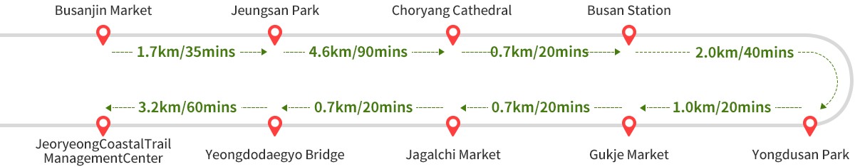
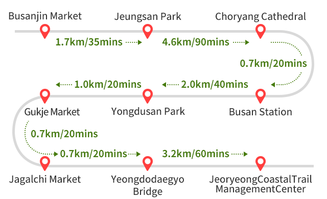
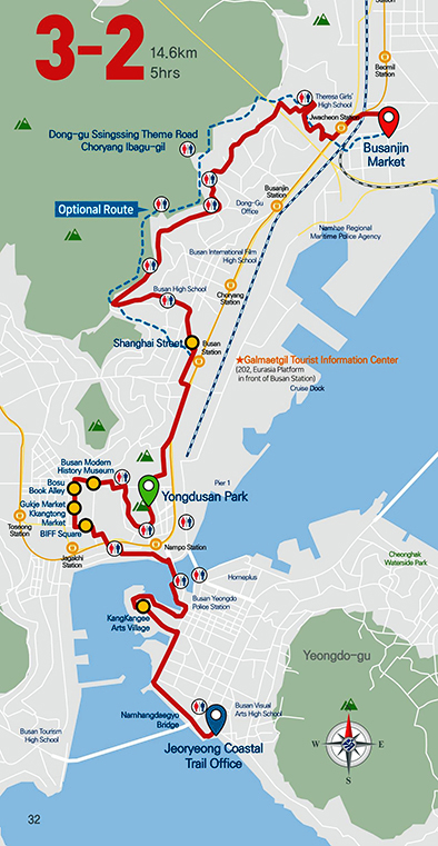
Route 3-2: Busanjin Market ~ JeoryeongCoastalTrail ManagementCenter
 Starting
point
Starting
point Finishing point
Route 3-2
Total Distance: 14.6km, Total Time: 5hrs, Difficulty: Moderate
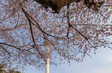
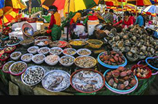
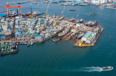
Passing through Uam-dong, trekkers can see the Hillside Road leading to Jaseongdae, Busanjin Market, Jeonggongdan, and Jeungsan from Gopchang Alley in Munhyeon-dong, famous for the movie "Friend." When trekkers go down to Busan Station, they can cross Chinatown and Yeongseongogae Hill along the old Choryang coastline of Busan, and reach 40 stairs with the joys and sorrows of the evacuation period. If trekkers cross Daecheong-ro, they will find Baeksan Memorial Hall and Yongdusan Tower, and the area is the site of Waegwan (trading platform for the Japanese), a piece of land dedicated to a 400-year-old friendly relationship between Korea and Japan. It heads to Gukje Market, where everything is found in alleys. Passing through the Nampo-dong Theater District and Jagalchi Market overflowing with chatter in the Busan dialect, trekkers can see Yeongdodaegyo Bridge, the first bridge linking an island to land in Busan, filled with memories and sorrows of refugees during the Korean War.