

Daily Busan
See the past of Busan through air view
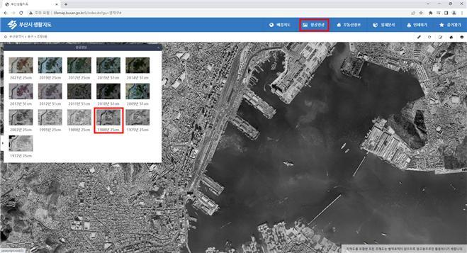
Busan Harbor, 1988
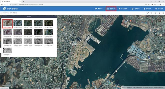
Busan Harbor, 2021
Now, through the Busan city's Internet map service "Busan Life Map," you can see the geographical change process for all of Busan at a glance through aerial photos by year.
The Busan city has been producing orthogonal images through video correction, aggregation, color correction, and video fusion using analog aerial photography DB created from 1972 to 2008, and has been releasing them to citizens through web services since 2020. An orthogonal image is an image that corrects the distortion in the photograph caused by the ups and downs of the ground and makes it like a map so that it has the same scale.
Aerial photographs before the past 30 years were difficult to identify the same area due to severe changes in topography and geography, but they were able to easily find their past locations by searching for land numbers or road names by giving coordinates to analog photographs through orthographic image production.
Currently, aerial photographs of 16 years from 1972 to 2021 are registered in the Busan Living Map (http://lifemap.busan.go.kr), so you can check the past geographical changes of a specific area at a glance throughout Busan, land numbers, or road name address search.